

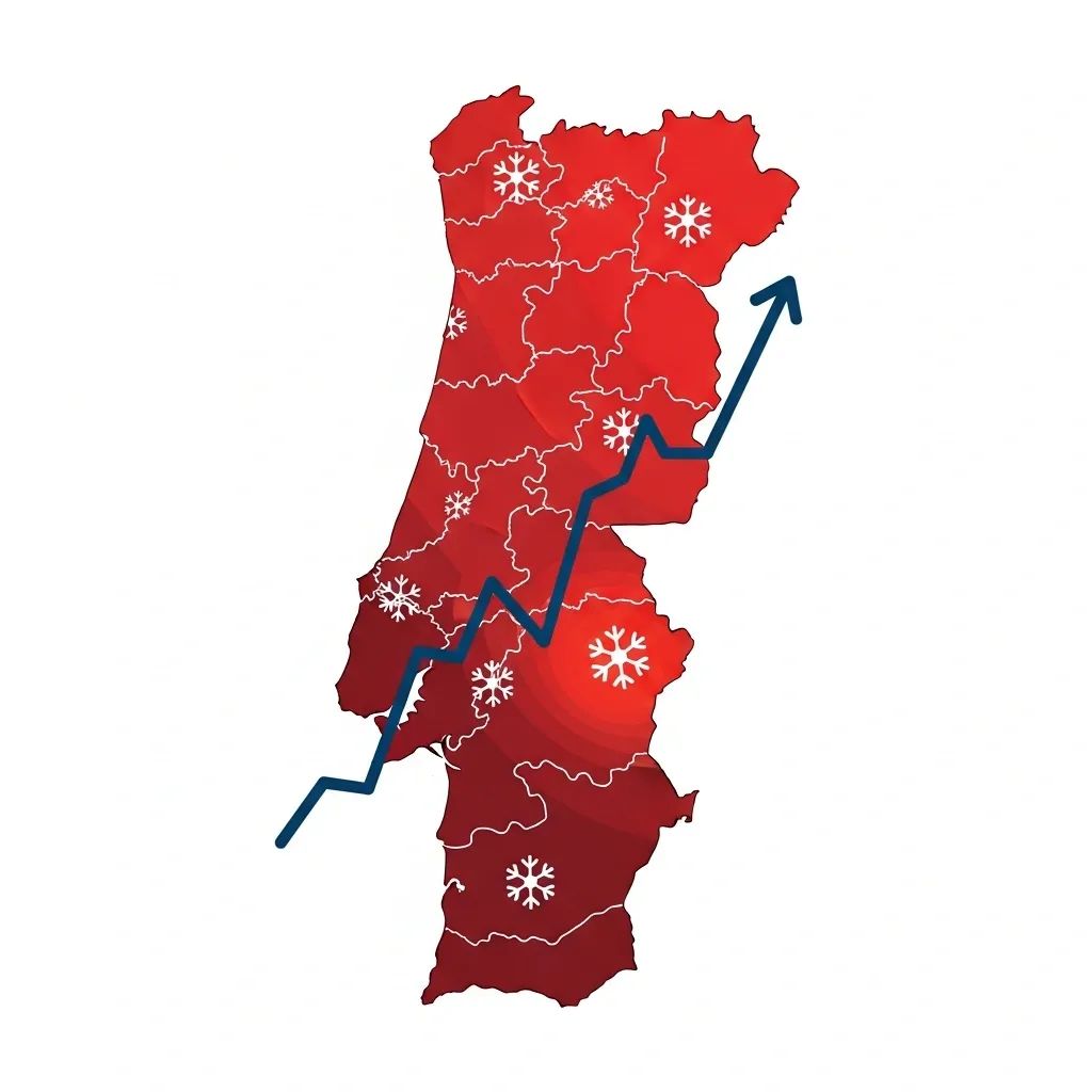
The Portuguese Institute for Sea and Atmosphere (IPMA) has confirmed that mainland Portugal is already experiencing a full heat wave, with temperatures climbing toward 38-39°C in some regions through Thursday. This phenomenon carries significant risks for public health, wildfire spread, and daily activities across the country.
Why This Matters:
• Yellow weather warnings are active for 7 districts (Leiria, Lisboa, Santarém, Setúbal, Portalegre, Évora, Beja) until 6 p.m. Thursday, with most remaining districts included Wednesday.
• Fire danger is rated "very high" and "high" in multiple regions due to dry conditions and accumulated forest debris.
• Tropical nights (above 20°C minimum) mean limited physiological recovery during sleep, compounding heat stress.
What Residents Should Expect This Week
Meteorologist Alexandra Fonseca from IPMA explained that Monday marked the sixth consecutive day of above-average temperatures—the threshold that officially defines a heat wave. While not unprecedented for late May, this early-season intensity is unusual and reflects a broader European pattern.
The hottest stretch begins today, with the Alentejo region, the Tejo Valley, and inland areas bracing for peaks between 38°C and 39°C. Coastal zones along the western seaboard will see more moderate increases—6 to 7 degrees above Monday's readings—while the rest of the country expects rises of 1 to 2 degrees.
Nighttime offers little reprieve. Tropical nights are forecast across the interior, Alentejo, and Algarve, where minimum temperatures will hover above 20°C. This prevents the body from cooling down during rest, intensifying fatigue and heat-related stress.
Wednesday introduces a brief meteorological change: thunderstorms, hail, and isolated showers are expected in the afternoon across the northern and central interior. However, these will do little to break the heat. Models suggest a slight drop Thursday and Friday, but temperatures will remain elevated—between 30°C and 35°C—well into the weekend.
Suspended dust particles from North Africa are forecast to drift into Portuguese airspace starting today.
Fire Danger and Government Response
The IPMA's fire risk assessment places several regions at "very high" and "high" danger levels for the coming days. This spring's unusual weather pattern—violent storms in March and April followed by abrupt heat—has left forests littered with fallen branches and accumulated biomass, creating ideal wildfire fuel.
Portuguese authorities have activated emergency response protocols to address wildfire prevention, with a focus on clearing combustible material and improving emergency response corridors before the summer peak season.
A European Heat Emergency
Portugal is not alone. A heat dome originating in North Africa has pushed significant May temperatures across Western Europe, affecting Spain, France, Ireland, the United Kingdom, Austria, and the Czech Republic.
Spain's meteorological agency (AEMET) forecasts highs near 40°C across much of the Iberian Peninsula starting Wednesday.
France has reported 7 heat-related deaths, including drownings as people sought relief in water. The broader European pattern reflects extreme weather conditions affecting multiple nations simultaneously.
Climate researchers emphasize that human-driven climate change is intensifying extreme weather events. The European Union is pressing member states to expand heat mitigation infrastructure, including cooling centers in public buildings designed to shelter vulnerable populations during extreme heat events.
Staying Safe During the Heat Wave
General precautions recommended during heat waves include:
• Stay hydrated: Drink water regularly, even if you don't feel thirsty.
• Limit sun exposure: Avoid prolonged time outdoors, especially between 11 a.m. and 5 p.m.
• Seek cool spaces: Spend time in air-conditioned or naturally cool environments when possible.
• Dress appropriately: Wear light-colored, loose-fitting clothing and protective sun gear.
• Check on vulnerable people: Contact elderly relatives and isolated neighbors regularly.
• Emergency assistance: If experiencing severe symptoms like dizziness, confusion, or loss of consciousness, call emergency services at 112.
What Comes Next
While meteorological models predict a slight cooling trend by Thursday and Friday, residents should not expect normal temperatures. The 30°C to 35°C range will persist, and the fire risk will remain elevated as long as dry conditions continue.
The yellow weather alert remains in effect through Thursday evening for most of mainland Portugal. Authorities urge vigilance, especially for those working outdoors or caring for vulnerable individuals during this extreme heat event.