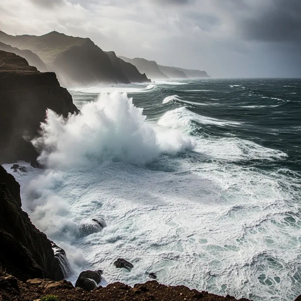
The Atlantic has dialled up a turbulent start to the year for Madeira. Strong squalls, roaring surf and gale-force gusts tied to the Depression Francis system are expected to pound the archipelago until late Saturday, keeping emergency services on high alert and travellers juggling plans.
Snapshot before you venture out
• Orange alerts for wind and sea on the north coast and Porto Santo stay active until at least 18:00 Saturday.
• Mountain peaks could still feel 110 km/h bursts, while low-lying towns deal with road-soaking downpours.
• Ferries between Funchal and Porto Santo remain cancelled; some flights may face delays.
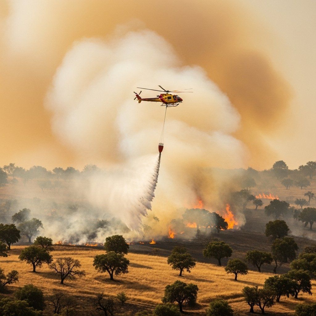
• Civil Protection logged 59 weather incidents by Friday night, mostly fallen trees and minor landslides.
• Walking trails such as Pico do Areeiro–Pico Ruivo are closed, and forest roads are restricted to emergency vehicles only.
What the next 24 hours look like
Meteorologists agree that Francis still has bite. Bands of heavy rain mixed with isolated thunder will cross the islands through the morning, with gusts of 90 km/h on the coast and 110 km/h on exposed ridges. The mountain slopes remain the wettest spots, but the whole archipelago should feel improvements along the coasts from mid-Saturday afternoon onward as the central low races northeast.
Colour-coded alerts: where is the risk greatest?
The IPMA has kept its orange warning for rough seas on the Madeira North Coast and Porto Santo, while the South Coast holds a yellow warning for wind. In the mountain areas the alert dropped a notch, yet officials still advise caution on ridgelines because of rough seas, rockfall and sudden gusts.
Early impacts: trees down, ferries stopped, trails closed
By late Friday, the regional command centre had tallied 59 incidents – mainly fallen trees, rockslides and rain-triggered landslides. The Porto Santo Line ferry service stayed in port, and airline crews reported occasional turbulence on approach to Cristiano Ronaldo Airport. High-altitude spots such as Pico do Areeiro saw temporary power losses, and all classified pedestrian routes will remain shut until emergency crews finish inspections to prevent additional power cuts and accidents.
Staying safe: civil protection checklist
Authorities repeat the basics: avoid travel during peak squalls, secure loose objects on balconies, clear drains to curb flooding, practise defensive driving, and stay well away from the shoreline until breakers subside. Dial 112 only for real emergencies and follow real-time updates from the SRPC social channels before heading out.
Why Madeira's terrain magnifies every storm
Madeira’s steep ravines amplify rainfall through orographic lift, funnelled swiftly into stream beds that can overflow in minutes – a feature painfully illustrated by the 2010 floods. Even when totals seem modest, flash floods can surge without warning. Climate scientists point to climate change adaptation investments, such as early warning systems, slope stabilisation and stricter land-use planning, yet locals know truly resilient infrastructure demands constant vigilance.
When can we breathe again?
Forecast models predict a gradual easing of rain and wind from late Saturday evening, with calmer seas on Sunday. Sunshine may return in intervals, but maritime authorities urge ongoing vigilance until swell heights normalise. Once the weather window opens, surfers, hikers and inbound visitors can expect a quick tourism bounce-back, though winter storms routinely visit Madeira – and the next one is never far beyond the horizon.