
Portugal's Western Azores Enter Weather Alert as Cold Front Spreads Across Atlantic
Two remote island communities in the Azores' western tier are bracing for heavy overnight rainfall, marking the first in a sequence of weather disturbances that will reshape conditions across Portugal's territory through the coming week. The Flores and Corvo islands now sit under yellow-level precipitation alerts through Saturday morning, while the central archipelago prepares for similar conditions during daylight hours. On the mainland, a separate cold surge promises below-average temperatures and the possibility of mountain snow by early next week.
Key Alert Timeline
• Tonight through Saturday dawn (Flores & Corvo): Yellow alert for strong, intermittent rain beginning at 8 PM local time (9 PM in Lisbon).
• Saturday daytime (Central islands): Faial, Pico, São Jorge, Graciosa, and Terceira enter yellow alert from 8 AM to 5 PM local time for comparable precipitation.
• Monday-Tuesday (Mainland): Temperatures dip to 6–16 °C, with below-freezing conditions inland and possible snow in elevated terrain above 1,200 meters.
Immediate Impact on Island Communities
The Flores and Corvo, Portugal's westernmost inhabited territory, occupy a strategic but isolated position roughly 600 kilometers from the European mainland. These twin islands have a combined population of fewer than 400 residents, making them among Europe's least densely inhabited places. Heavy rainfall here poses distinct operational challenges: ferry schedules hinge entirely on sea state, and supply chains depend on maritime windows that can shrink to mere hours when storms approach.
The Portugal Maritime Authority issued a pre-emptive advisory on Friday afternoon, urging fishing crews and recreational boaters to return to the nearest safe harbor and reinforce vessel mooring. Northwestern swells reaching 4–5 meters in significant height are expected through Saturday morning, with isolated peaks approaching double that magnitude in exposed waters. Inter-island transport operators have already signaled potential delays. Similar maritime disruptions to those experienced in recent months underscore how quickly adverse conditions can cascade into broader supply disruptions across the archipelago.
The Central Group will experience similar conditions but compressed into a narrower window. Authorities expect the rain system to shift eastward by late Saturday afternoon, sparing the Eastern Group (Ponta Delgada, São Miguel, and Santa Maria) from the worst effects. The IPMA, Portugal's meteorological authority, classified both alerts as yellow-level warnings, the lowest tier in its three-grade system but one that still signals measurable risk for activities dependent on weather conditions—maritime operations chief among them.
Mainland Portugal Faces Temperature Plunge and Possible Snow
While islanders cope with horizontal rainfall, continental Portugal will experience a different threat beginning Monday, March 9. A succession of Atlantic frontal systems will sweep across the country, delivering light to moderate precipitation and notably depressed temperatures.
Monday and Tuesday will see daytime highs struggle to reach 6–16 °C across most regions, with nights plummeting to 1–9 °C in lowlands and dipping toward -2 to 0 °C in interior valleys of the North and Center. The Serra da Estrela, Portugal's highest mountain range, could register summit temperatures as low as -6 °C—severe enough to trigger snow accumulation at elevations above 1,200 meters.
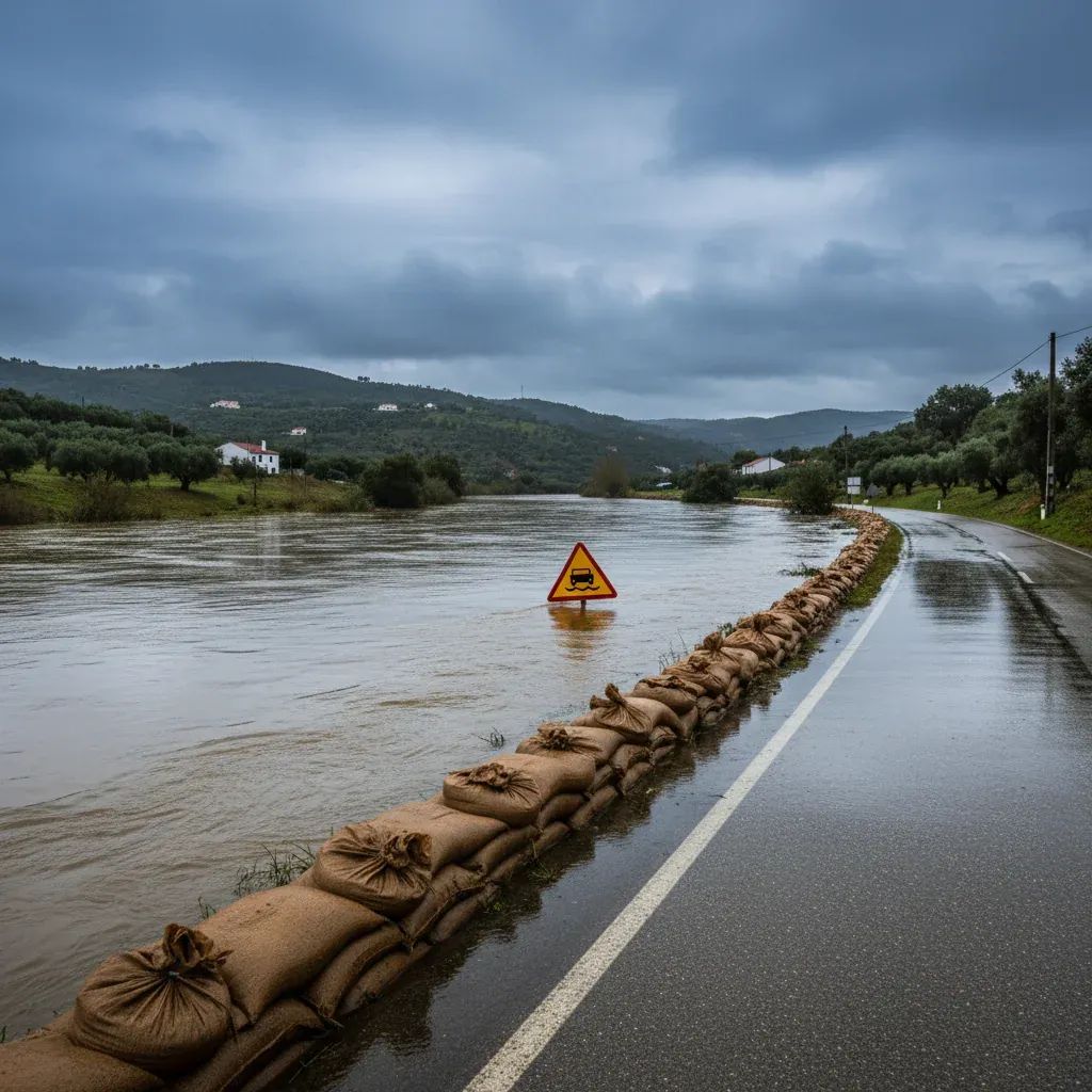
The meteorological institute has flagged a less-than-50% probability of snow on northern and central highlands Monday morning, a threshold that means the possibility exists but remains unlikely. However, the combination of sub-zero overnight air and damp ground surfaces creates textbook conditions for black ice formation on elevated stretches of the A25, A24, and IP2 highway corridors. Drivers traversing the interior should monitor Infraestruturas de Portugal traffic bulletins before departure and consider alternate routes if advisories upgrade to orange status.
By Wednesday, a welcome temperature recovery will begin. Daytime maxima are forecast to climb to 12–20 °C, and nighttime lows to 1–10 °C, still below seasonal norms but substantially warmer than the preceding 48 hours. This midweek moderation offers agricultural and livestock operators a narrow window to assess winter-weather damage and reorganize outdoor activities before fresh systems potentially develop later in the period.
What Residents Should Prepare For
Residents in flood-prone areas—particularly along northern watercourses prone to rapid runoff—should pre-position livestock, vehicles, and equipment to higher ground before heavy rain intensifies over the Azores this weekend. Farmers in the Norte and Centro regions should inspect vulnerable crops for frost damage once temperatures begin warming Wednesday, prioritizing young plants and newborn animals that lack physiological resilience to freezing stress.
Coastal communities face a different hazard profile. Elevated wave action persists through Saturday morning, with northwest swells of 5–6 meters and localized peaks near 11 meters threatening harbor infrastructure and beachfront properties.
For drivers and commuters, wind gusts—forecast at 90 km/h along exposed coasts and elevated terrain—raise the risk of branch and tree collapse. Travelers near wooded areas should exercise heightened caution. Secure loose structures such as scaffolding, advertising boards, and suspended installations before strong winds arrive, particularly for construction sites and older properties lacking modern wind bracing.
Looking Forward: What the Week Ahead Brings
The Eastern Azores face markedly milder conditions. Sunday is forecast to be predominantly cloudy with only a 10% rain probability and temperatures hovering at 11–14 °C. Light showers may return later in the week, but conditions will remain temperate relative to the mainland cold spell.
The IPMA updates its official alerts every six hours through its website and mobile application. Given the rapid shifts characteristic of early-March Atlantic weather, residents across both island territories and the mainland should refresh forecast data regularly. Yellow and orange classifications can escalate, expire, or shift geographically with minimal advance warning, making real-time monitoring essential for anyone operating near water, on elevated roads, or in exposed agricultural zones.
Residents should expect maritime delays across the Azores through Saturday, prepare for cold nights and possible elevated-terrain snow beginning Monday, and monitor updated advisories closely. The adverse period is time-limited—conditions will moderate substantially by midweek—but these coming days demand vigilance and preparation.


