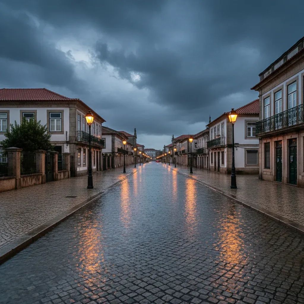
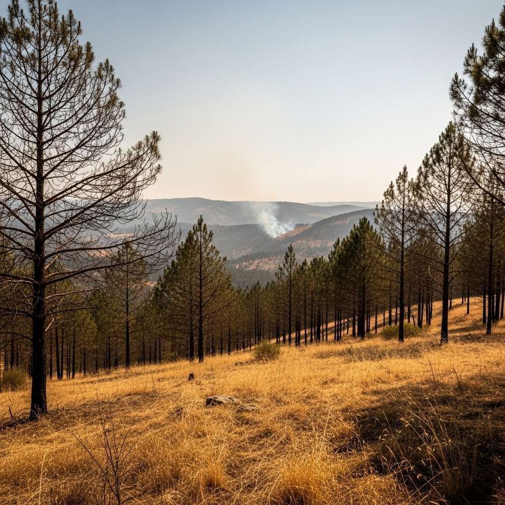
The Portugal Institute for Sea and Atmosphere (IPMA) has flagged a fresh bout of Atlantic turbulence for Sunday, a change that could extend the week-long pattern of road closures, rail delays and coastal flooding already stretching local budgets.
Why This Matters
• Public transport interruptions are likely from early Sunday; CP and Metro operators say replacement buses might be limited.
• Motorway toll relief is being considered if the A1 and A3 flood-prone sections close again.
• Home-insurance claims linked to storm damage in January–February have already topped €31 M; another spike could push premiums up next renewal cycle.
• Snow on Serra da Estrela may cut power to several mountain villages—residents should charge devices and stock essentials today.
A Brief Window of Calm
After a relentless week under Depression Leonardo, most of the mainland will enjoy milder skies on Saturday. That lull, IPMA warns, is temporary. A new sequence of cold fronts is lining up in the eastern Atlantic and should make landfall before dawn on Sunday, first on the Minho coastline and by lunchtime across the Centro region.
What Forecasters See Next
Meteorologists expect widespread rain—locally heavy north of Coimbra—with daily totals that could exceed 40 mm. The saturated soils on the Ave, Douro and Mondego basins leave little room for absorption, so runoff will head straight to the rivers. Offshore, buoy data suggest wave heights around 6 m and peaks touching 11 m late Sunday night, forcing the port captains of Leixões and Peniche to prepare for temporary shutdowns. Wind gusts may touch 90 km/h along capes and on the western Alpine slopes.
What This Means for Residents
• Urban commuters in Porto, Braga and Lisbon should budget extra travel time; fallen branches and lens-shaped puddles have been the main contributors to last week’s 400 road incidents.• Farmers in the Vale do Tejo face another irrigation backlog—expect a tight booking window for drainage pumps.• Anyone with weekend surfing plans along the Costa Vicentina should rethink; rescue authorities are already stretched and beach access ramps may be cordoned off.• Those living near low-lying riverfronts—Alcácer do Sal, Constância, Peso da Régua—should move cars to higher ground and keep important documents in waterproof sleeves.
Government & Emergency Response
The Portugal Civil Protection Authority (ANEPC) has activated its national emergency plan through Monday. Local fire brigades received an extra €2 M for fuel and overtime, and GNR patrols will monitor hillside roads prone to landslides. Municipalities from Viana do Castelo to Aveiro have opened temporary shelters stocked with blankets and baby formula. Bank helplines indicate short-term repayment moratoria will be available if homes take structural hits.
Climate Context: The Bigger Picture
Climatologists at the University of Lisbon link the current sequence of storms to a warming Atlantic that supplies more water vapour to frontal systems. Average sea-surface temperatures off Peniche sat 1.2 °C above normal in January, helping to turbo-charge cloud bands. Portugal’s five wettest winters of the last 30 years have all occurred since 2015, and the insurance sector is quietly modelling a “new normal” of €100 M in annual storm claims by 2030 if emissions continue on their present trajectory.
Looking Ahead
IPMA tentatively expects a break in the pattern by mid-next week, but urges residents to follow updates on its smartphone app. Until then, the guiding principle is simple: postpone non-essential travel, secure loose objects and stay plugged into official alerts rather than social-media hearsay.


