The rumour that Storm Ingrid had claimed its first life in Portugal turned out to be wrong—yet the episode was a timely reminder that January’s conveyor belt of North-Atlantic lows is far from over. While no fatalities were recorded, Ingrid still left hundreds of incidents, shut schools in the North and Centre and forced fishing fleets to stay in port. And now a fresh depression, Joseph, is rolling in from the west.
At a glance
• Zero confirmed deaths: authorities contradicted early local reports of a fatal accident in Cadaval.
• 720+ incidents logged by fire brigades, mostly falling trees and road blockages.
• Red warnings for snow in five interior districts and for waves up to 15 m along much of the west coast.
• School closures in Vila Real and parts of Trás-os-Montes; bus routes curtailed in the Serra da Estrela.
• New storm Joseph expected to prolong rain, snow and coastal hazards through the week.
False alarm, real danger
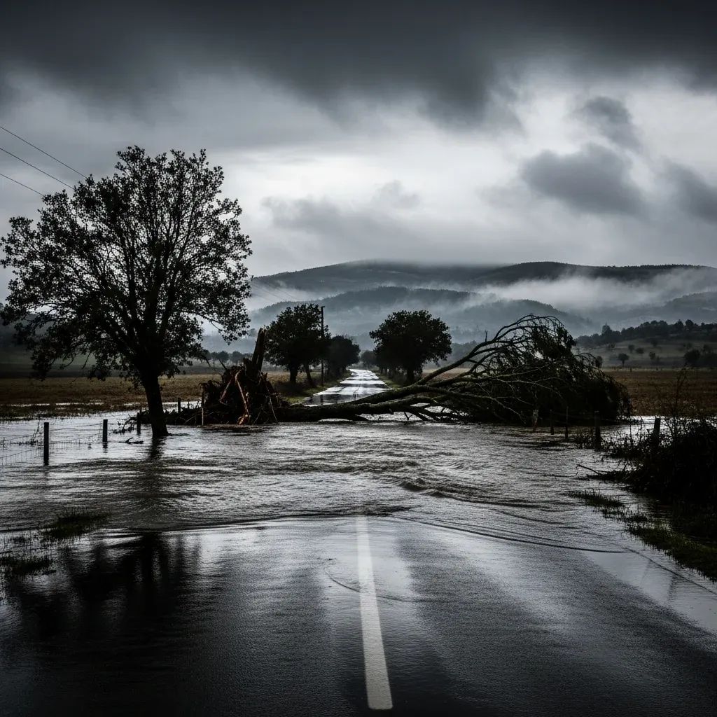
Initial radio chatter suggested a car had been swept off a flooded road near Cadaval with a fatal outcome. Within hours the National Republican Guard and Proteção Civil clarified that the vehicle involved was quickly secured and the occupants escaped unhurt. The episode nevertheless highlighted how flash-flooded secondary roads, common in the Oeste during winter, can turn a short drive into a gamble.
Where Ingrid hit hardest
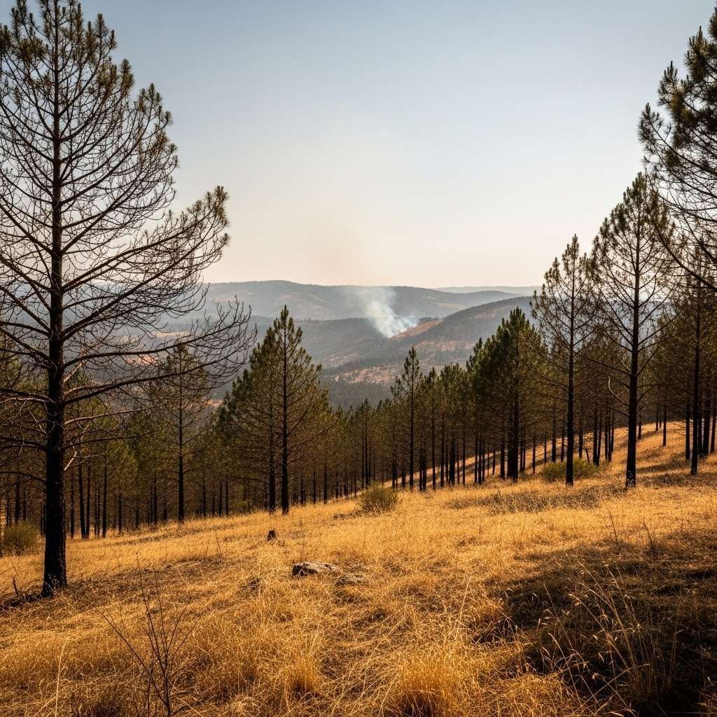
Between Thursday evening and Saturday morning emergency services counted 238 fallen trees, 195 road clear-ups, 117 collapsed structures, 89 urban floods and 83 small landslides. The heaviest toll came in Coimbra, the Porto metropolitan area and Greater Lisbon, where saturated soils from weeks of rain offered little hold for shallow-rooted pines and eucalypts. In the hills of Viseu and Vila Real, snowfalls reached 30 cm above 900 m, forcing trucks to chain up on the A24 and IC5.
Coastal swell disrupts trade and leisure
For the fishing towns from Viana do Castelo down to Peniche, the bigger menace arrived from the Atlantic. Ingrid’s north-westerly wave train produced significant heights of 7-9 m and peaks that, according to the Navy’s buoy off Nazaré Canyon, brushed 15 m overnight. Harbour masters ordered recreational craft to remain docked, and cargo operations in Leixões, Aveiro and Setúbal slowed as cranes were lowered for safety. Surf schools cancelled lessons; seasoned big-wave riders gave the red flags a rare nod and watched from the cliffs instead.
The science behind the punch
Meteorologists at IPMA traced Ingrid to a deep depression that dipped to 961 hPa west of Ireland before sliding southeast. A subsequent polar air mass lowered the snow line to 500 m in pockets of Minho and Beira Alta—unusual but not unheard-of. Specialists note that Ingrid emphasised swell and snow, whereas the incoming Joseph is modelled to deliver heavier rain and stronger gusts. They also point out that the current pattern fits a wider ‘storm train’ typical of strong westerly phases of the North Atlantic Oscillation.
Safety checklist for the week ahead
Residents along the coast and in the mountains are being urged to keep basic precautions in place:
Reinforce or stow loose outdoor objects; trim vulnerable branches.
Park cars away from trees, cliffs and creek beds.
Postpone seaside walks; waves can overtop sea walls with little warning.
Check gutters and drains to prevent backflows into basements.
Carry snow chains when crossing passes above 700 m—police patrols are enforcing.
Follow IPMA and Proteção Civil channels for updated warnings, especially as Joseph approaches.
Another low on the radar
Forecast charts show depression Joseph deepening to around 970 hPa near the Bay of Biscay before sweeping across the mainland. Expect renewed rainfall, wind gusts of 100 km/h on exposed capes and a return to amber and red alerts as early as Wednesday. After Ingrid’s close call, the takeaway is clear: the storm season is in full swing, and Portugal’s best defence remains vigilance, timely information and respect for the warnings stitched into every winter forecast.