The Portugal National Authority for Emergency and Civil Protection (ANEPC) has activated prontidão especial 4—its absolute maximum state of readiness—an extraordinary move that places every firefighter, soldier and medic on standby and triggers the nationwide Emergency Plan.
Why This Matters
• 100 % of civil-protection resources are now mobilised; local fire brigades can be re-routed anywhere in the country within hours.
• Schools, roads and coastal promenades may close at short notice, affecting commutes and half-term holidays.
• Insurance claims and state aid procedures have been fast-tracked; households can start filing as soon as damage occurs.
• Extended state of emergency until 15 February means special labour, tax and procurement rules stay in force another week.
The Storm Chain Reaction
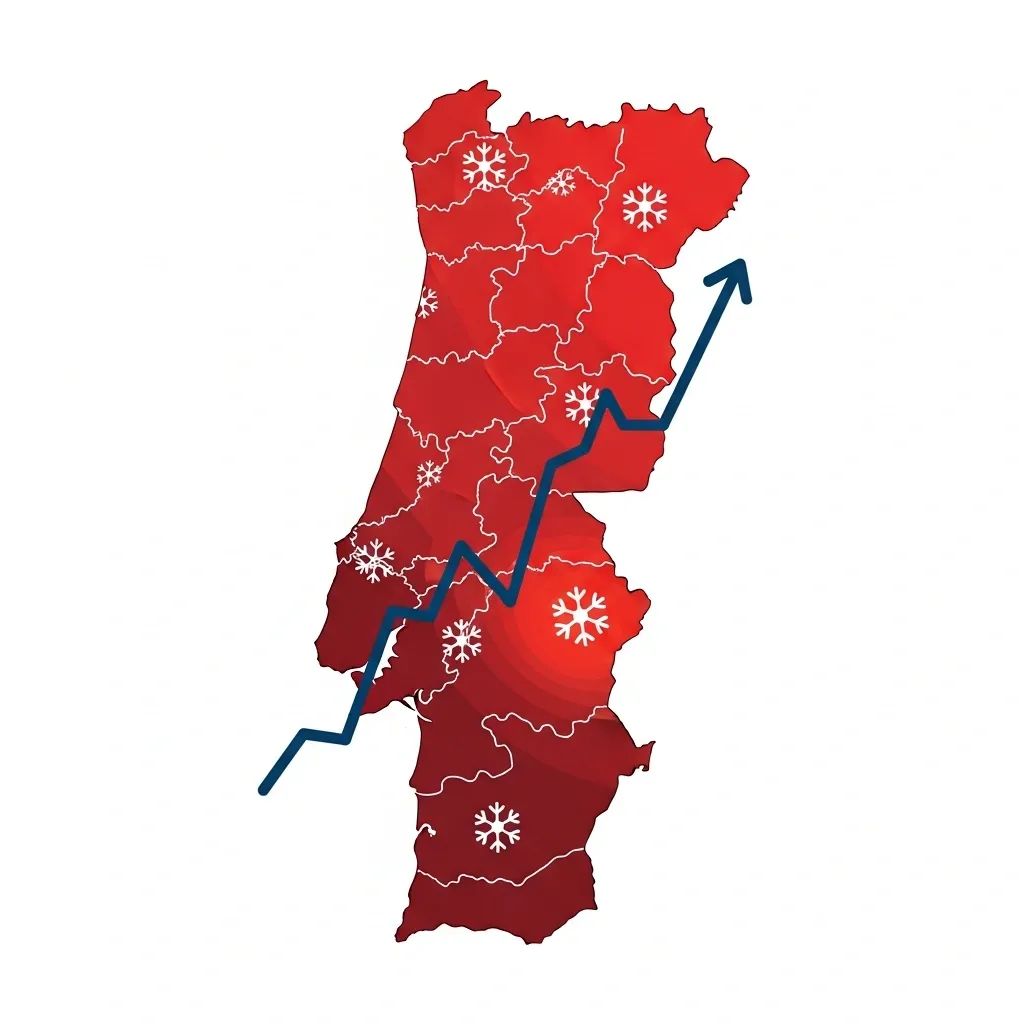
February’s bad weather is no one-off. Three overlapping Atlantic systems—Kristin, Leonardo and now Marta—have lashed Portugal since the start of the month. Each brought a different threat: torrential rain that saturated river basins, gale-force winds exceeding 120 km/h in mountain areas, and 11-metre waves along the Atlantic façade. Put together, they have created what ANEPC calls a “very complex meteorological cocktail.”
How Authorities Are Responding
The jump to prontidão especial 4 automatically opens the full toolbox of Portugal’s civil-protection law:
National Emergency Operations Centre now runs 24/7 with direct video links to all 18 district commands.
26 504 personnel, 10 505 ground vehicles and 5 helicopters have been pre-positioned near flood-prone valleys and coastal cliffs.
77 municipal plans and 4 district plans have been activated, giving mayors budgetary and regulatory flexibility to hire extra pumps, close streets or requisition accommodation.
The Armed Forces stand ready for evacuations, especially in isolated hamlets flanking the Douro, Mondego and Tejo.
Local Hotspots Under Watch
While the alert covers the whole mainland, ANEPC’s risk map has painted several areas in deep red:
• Grande Lisboa & Península de Setúbal – Urban flash floods; storm drains already at capacity.
• Leiria & Oeste coastline – Possible cliff collapses; high surf could overtop sea walls.
• Alcácer do Sal & lower Sado – River at scraping point with the tide; agricultural fields resemble lagoons.
• Reguengo do Alviela, Valada and Coruche (Santarém district) – Villages intermittently cut off; Sorraia river out of bank.
• Mountain belts above 800 m – Heavy snow forecast; N2 and IC8 may require chains or closure.
What This Means for Residents
Portugal’s civil-protection law places part of the burden on citizens. Ignoring official warnings can void insurance or disaster compensation. Here is the actionable checklist:
• Clear gutters and basement drains today; municipal crews will prioritise public spaces, not private patios.
• Anchor loose objects—solar panels, scaffolding, garden furniture—before winds pick up again tonight.
• Download the "Proteção Civil" app for push notifications about road closures or evacuation orders in your parish.
• Save digital copies of ID, property deeds and insurance policies; claims must be filed within 8 days of the incident.
• Drivers: avoid river-adjacent shortcuts like EN114 in Santarém or the coastal N247 in Oeste; fines for ignoring closure barriers start at €120.
Economic & Infrastructure Fallout
Early estimates from the Portugal Insurance Association put insured losses above €110 M—roughly the total hit from Storm Leslie in 2018. The government has already unlocked an "extraordinary reconstruction fund" that reimburses municipalities 60 % of emergency spending and allows them to bypass public-tender deadlines for road repair. Fishermen grounded by high seas may tap the Salary Compensation Fund after 48 hours of forced stoppage, a measure last used during the 2021 red-tide crisis.
Power utilities reported 82 000 customers without electricity at the peak of Storm Leonardo; most were reconnected within 36 hours, but ageing rural lines in Trás-os-Montes remain vulnerable. Telecom operators have moved mobile cell-on-wheels units to cover black spots should masts fail again.
Looking Ahead: The Forecast Window
The Portuguese Institute for Sea and Atmosphere (IPMA) expects the most punishing rain on 7 February, tapering somewhat after Sunday. Another frontal wave could bring 40–60 mm on 10 and 11 February, followed by a short respite. If the models hold, a high-pressure ridge may settle over Iberia around 15 February, finally lowering river levels.
ANEPC will re-evaluate the prontidão 4 status early next week. Until then, the safest working assumption for anyone living in Portugal is simple: assume conditions can deteriorate quickly and plan every journey with a fallback option.