A shot of polar air has barged into mainland Portugal and, for the first full weekend of inverno, will paint large swathes of the country white while driving thermometers down to levels rarely felt outside the mountains. Drivers, commuters and holiday-makers heading home for Christmas are being urged to rethink plans as authorities brace for ice-slick roads, flight delays and rough seas.
Snapshot for the busy reader
• Sub-zero dawns forecast across the interior North and Centre
• Snow line could dip to 600 m in Trás-os-Montes and Beira Alta
• Eleven districts under orange warning; seven coastal districts face 6 m waves
• Expect 5-15 cm of fresh snow in most ranges; 30 cm+ possible on Serra da Estrela
• DGS issues health advisory: layer up, avoid prolonged exposure, keep vulnerable neighbours in mind
What Portuguese residents can expect this weekend
The incoming polar maritime air mass began filtering into Portugal on Friday night and will dominate until at least Monday. Daytime highs will struggle to reach 10 °C in the Douro, Guarda and Viseu plateaus, while Braga, Porto and Coimbra hover near 8-9 °C under persistent wind chill. Along the Lisbon coast values stay milder—around 12 °C—yet the buraquinho factor makes it feel colder. The official winter solstice lands Sunday but the season has clearly arrived ahead of schedule.
Snow line drops: where and when
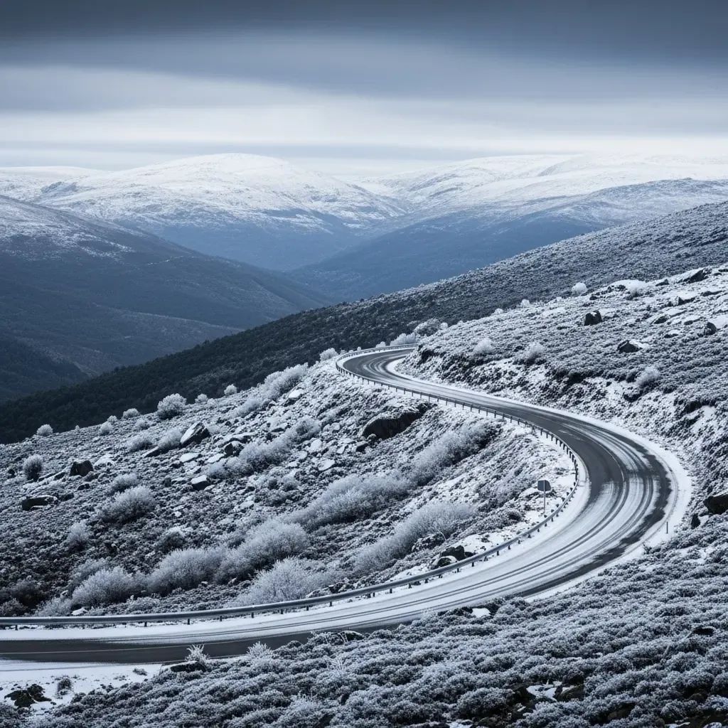
Meteorologists at IPMA expect the snowline to start around 1 400 m Saturday morning and plummet to 800 m by dusk. During the early hours of Sunday a brief window may shove flakes down to 600 m in parts of Gerês, Alvão/Marão and Montemuro. Accumulations of 5-15 cm are likely across most ranges, while the summit of Serra da Estrela could stack 30 cm or more, reviving ski hopes at Torre. Even Bragança residents, accustomed to cold but not always snow, might wake to a thin white coat.
Cold beyond the mountains: travel and infrastructure at risk
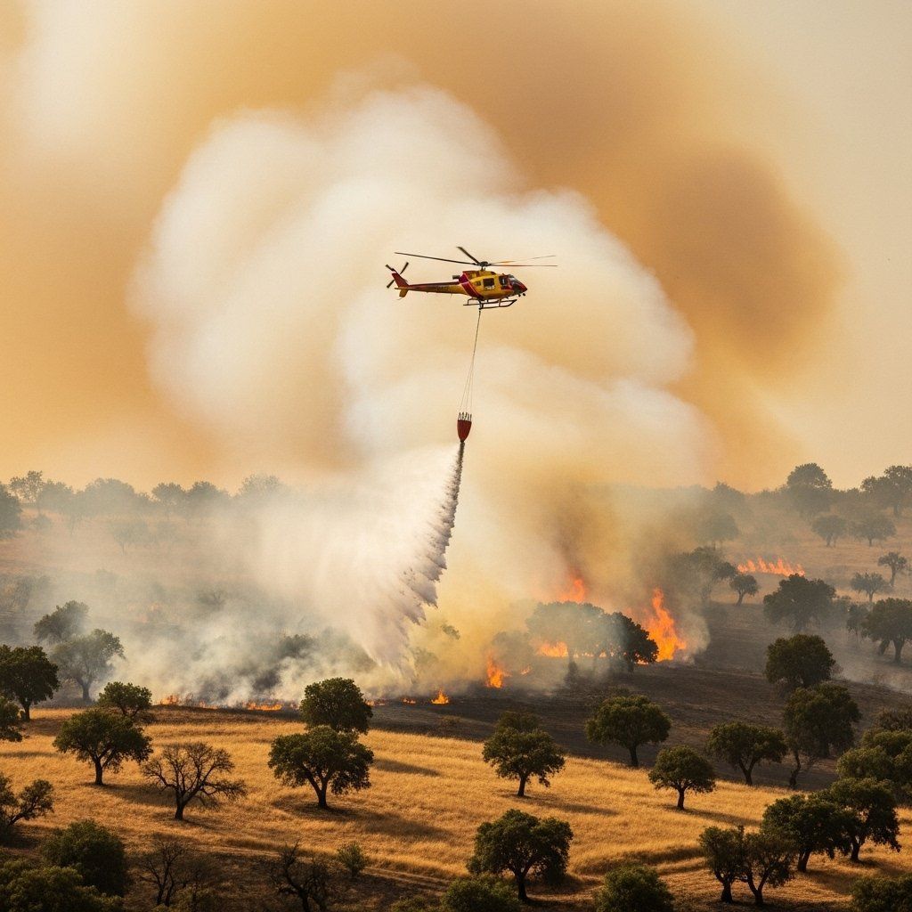
With eleven districts painted orange for snow and seven for maritime agitation, mobility will become tricky:• Roads – The EN339 up Serra da Estrela has already closed once this month; further shutdowns are expected. Motorways A24 and A25, linking Vila Real and Viseu to Spain, may see chain controls as black ice forms overnight.• Rail – Infraestruturas de Portugal warns of possible speed restrictions on Beira Alta and Minho lines if points freeze.• Air – Ground handlers at Porto and Lisbon airports have de-icing trucks on standby; travellers should check carriers before leaving home.• Sea – A strong north-westerly swell, peaking near 10 m, jeopardises small-boat activity from Viana do Castelo down to Nazaré.
How to stay safe and warm
Health officials have published a familiar winter playbook, but repetition saves lives:
Dress in several thin layers, trapping warm air better than one bulky coat.
Prioritise extremity protection—gloves, hats, thermal socks—to fend off frostnip.
Replace the evening glass of wine with hot soups or herbal teas; alcohol accelerates heat loss.
Verify heating equipment is vented correctly to avoid carbon-monoxide build-up.
For elderly neighbours or those with limited mobility, offer help with grocery or pharmacy runs.
Keep an emergency kit in the car: blanket, water, torch, phone charger and snow chains.
A rare but not unprecedented white December
Portuguese winters have gradually warmed—IPMA stats show an average rise of 0.3 °C per decade since the 1970s—yet extremes still punch through. The capital briefly saw flakes in 2006, low-lying Centre towns were dusted in 2010, and the Serra da Estrela recorded its "biggest snowstorm of the century" in 2018. Climate scientists say warming oceans can paradoxically intensify polar outbreaks when the jet stream wobbles, funnelling Arctic air deeper into Europe. In short: fewer snow days overall, but the ones that arrive may be sharper and heavier.
Looking ahead: will the freeze linger?
Forecast models hint at a subtle rebound after Tuesday, with cloud thinning and a minor 1-2 °C rise country-wide. However, nighttime lows will remain crisp, and a new Atlantic low on Christmas Eve could reopen the door to showers—some again as snow above 1 000 m. Keep an eye on the IPMA bulletins, stay flexible with travel plans, and savour the fleeting postcard scenery while it lasts—Portugal’s next brush with a true Arctic front may take years to repeat.